|
JLGIS and US Geological Survey's Earth Resources Observation Systems
Data Center
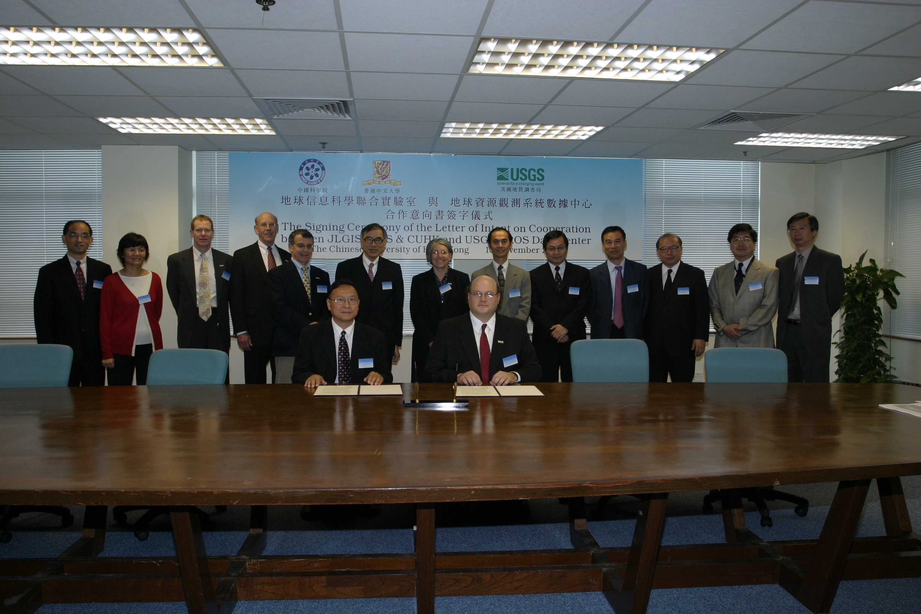
Established in 1879, the USGS has been a world-leading organization that provides the US and the world with the science needed to make important decisions and safeguard society. The USGS EROS Data Center, as one of the organizations within the Geography science discipline of the USGS, is the world's leading and largest civilian archive center of aerial and satellite remote sensing data, well known for its excellent data management and distribution and research and applications in geographical and environmental science. The JLGIS was established in 1997 by the Chinese Academy of Sciences and the Chinese University to promote the linkage between China's GeoInformation science and technology and elsewhere in the world. The mission of the JLGIS is to be a Center-of-Excellence for conducting research, academic exchange and training in the region. Recently through the support Government of Hong Kong Special Administrative Region, The Chinese University of Hong Kong, and the China Central Government, the JLGIS, is building a satellite receiving station on CUHK campus, and has established a Remote Sensing Center at the CUHK. These activities bring the opportunity to promote exchanges with other organizations and universities world-wide in remote sensing and GeoInformation science. Ms. Barbara Ryan, Associate Director for Geography of USGS, Mr. Jay Feuquay, USGS's Program Coordinator for Land Remote Sensing, Mr. Larry Pettinger, Remote Sensing Scientist of USGS, Dr. Bryan Bailey, Remote Sensing Scientist of EROS Data Center, and Mr. John Faundeen, Archivist of USGS EROS Data Center, visited CUHK and attended the signing ceremony. Professor Lin Hui of JLGIS signed the LOI with Mr Feuquay. Also attending the ceremony were Professor Lawrence J Lau, Vice Chancellor of CUHK, Mr. Jacob Leung, University Secretary, Professor Leung Yuen Sang, Head of Chung Chi College, Professor Leung Yee, Dean, Faulty of Social Science, Professor Xu Yangsheng, Chairman, Department of Automation & Computer-Aided Engineering, Professor Tsou Jin Yeu from the Department of Architecture, Professor FUNG Tung from the Department of Geography & Resource Management and Professors Shao Yun and Yang Limin from JLGIS.
JLGIS and US Geological Survey's Earth Resources Observation Systems (EROS) Data Center signed a Letter of Intent to promote future cooperation.
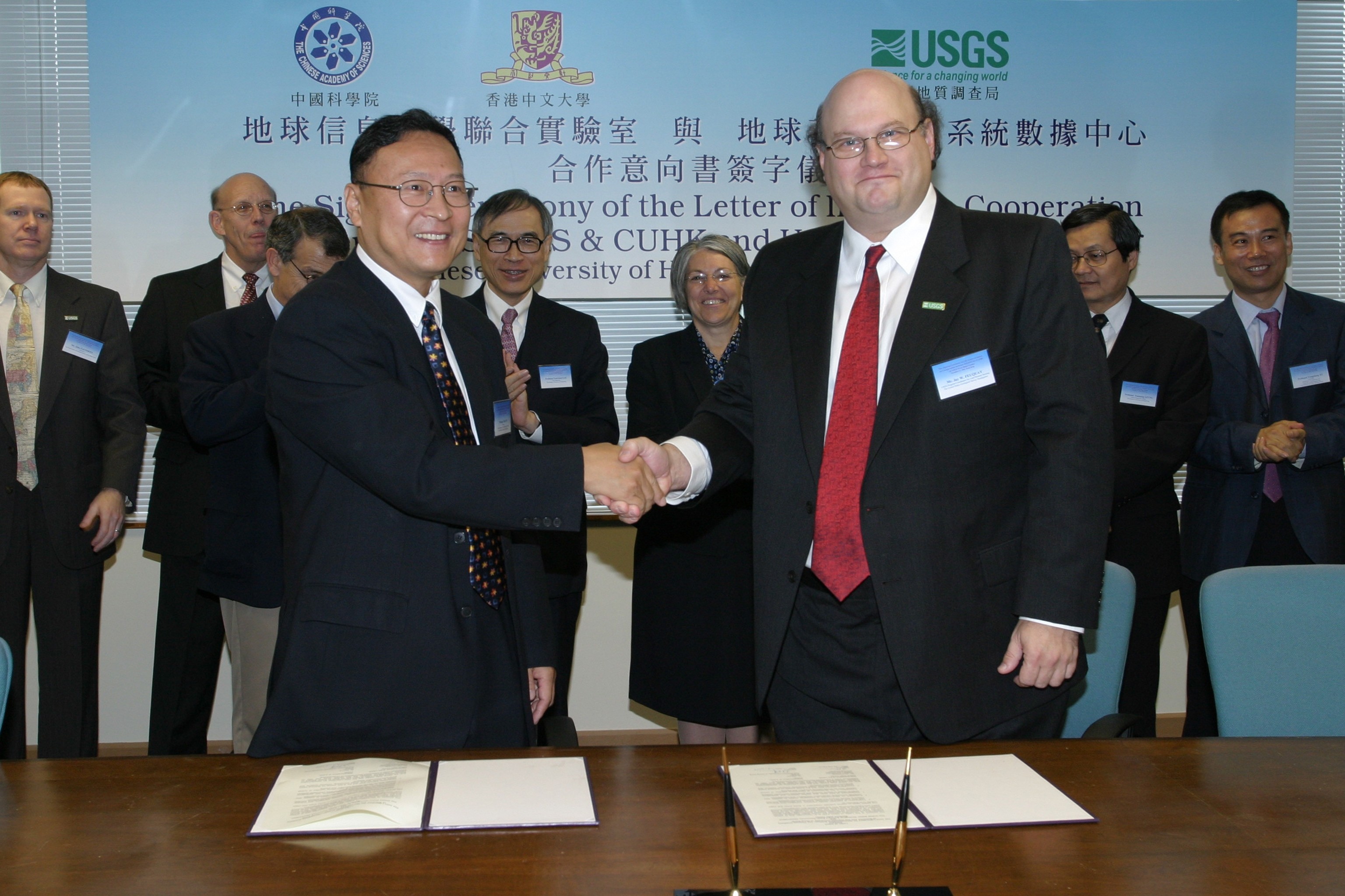
Prof Lin Hui, Director of JLGIS and Mr Jay Feuquay, USGS Program Coordinator for Land Remote Sensing, signed the LOI.
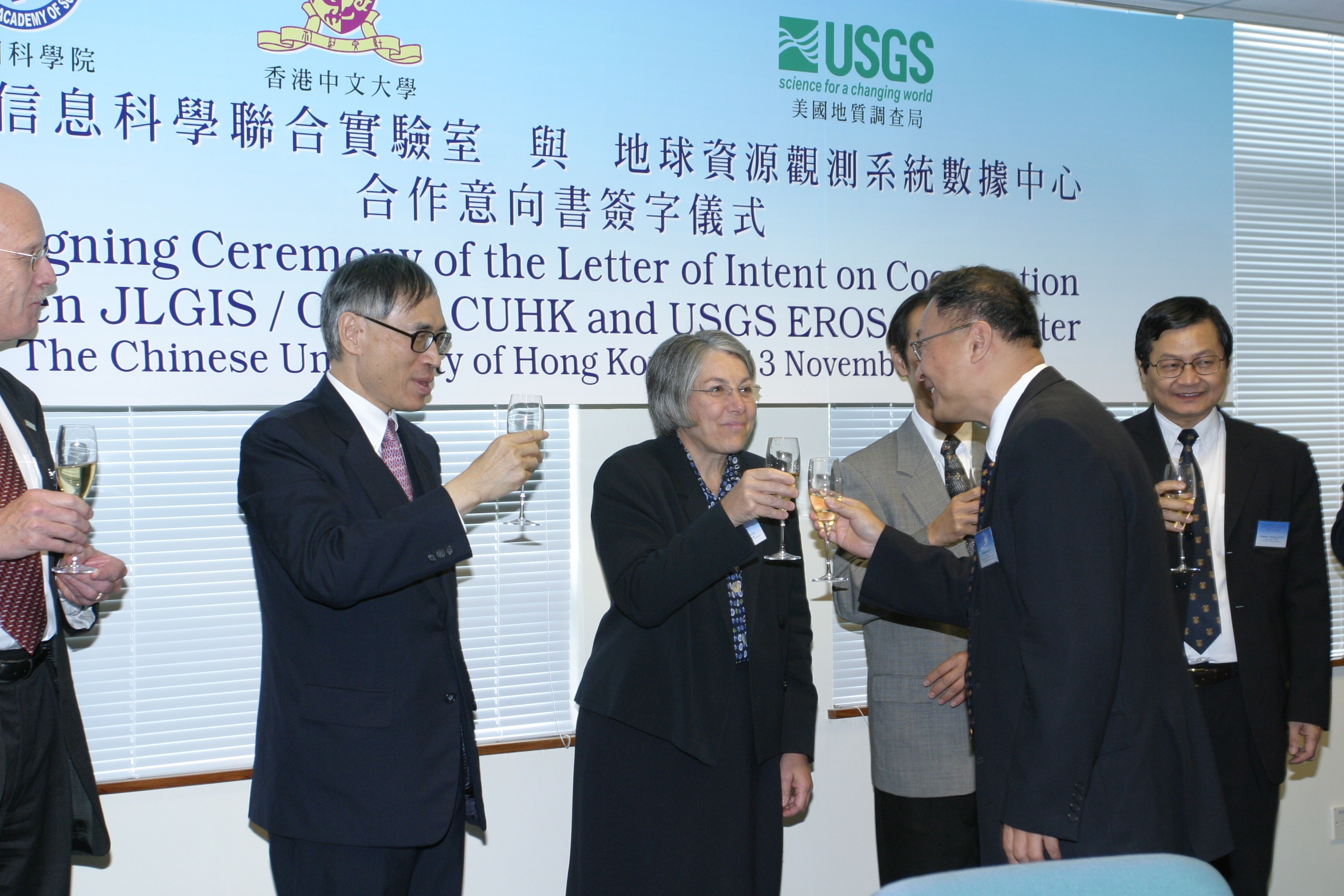
Prof Lin Hui toasted with Prof Lawrence J Lau, Vice-Chancellor of CUHK and Ms Barbara Ryan, Associate Director for Geography of USGS.
|