|
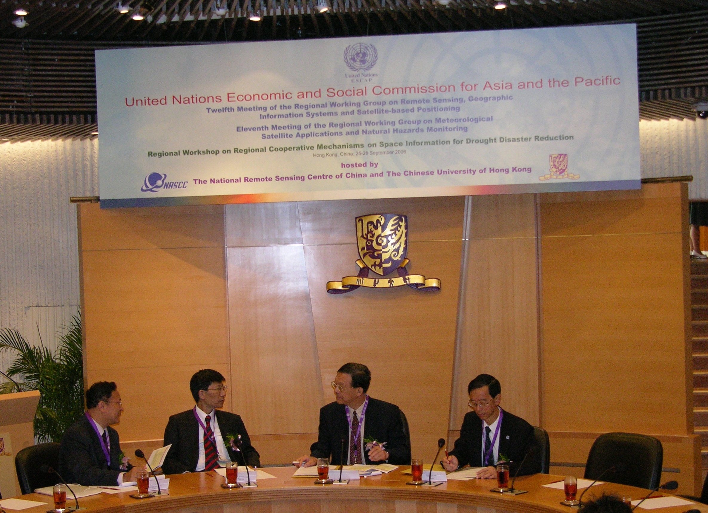
return to press release index 25 Septermber 2006 UN Economic and Social Commission for Asia and the Pacific Meetings on Remote Sensing Open at CUHK to Promote Regional Cooperation
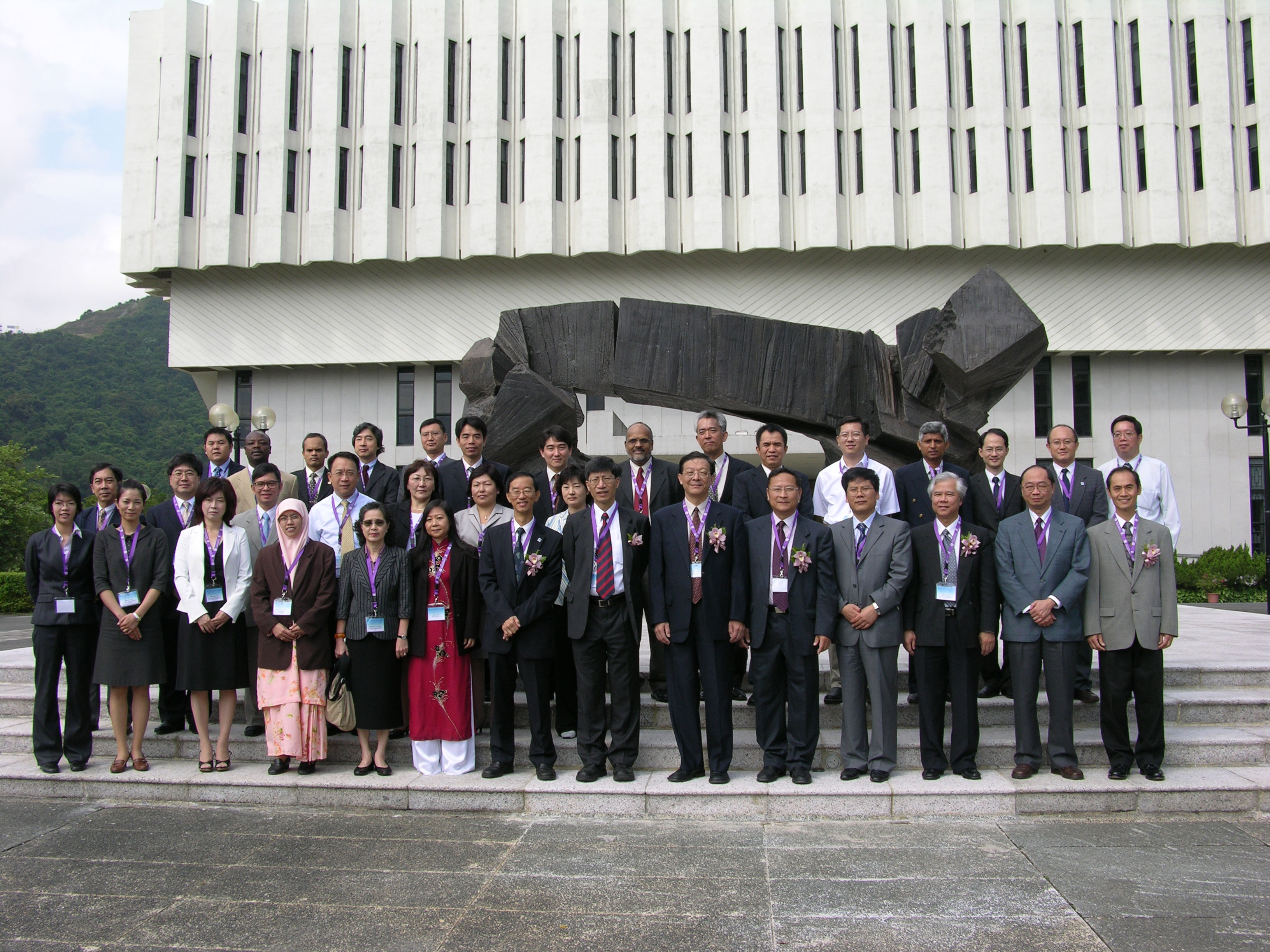
The Twelfth Meeting of the Regional Working Group Meeting on Remote Sensing, Geographic Information Systems and Satellite-based Positioning, the Eleventh Meeting of the Regional Working Group Meeting on Meteorological Satellite Applications and Natural Hazards Monitoring and the Regional Workshop on Regional Cooperative Mechanisms on Space Information for Drought Disaster Reduction of UN Economic and Social Commission for Asia and the Pacific opened today at Cho Yiu Hall, The Chinese University of Hong Kong was a timely platform for remote sensing experts to discuss the use of the space technology for natural hazard warning and management and generate cooperative programmes of the international community. The meeting was hosted by the Institute of Space and Earth Information Science of The Chinese University of Hong Kong, under the auspice of the National Remote Sensing Center of China. Experts and government officials from UN Food and Agriculture Organization, World Meteorological Organization and Asian Disaster Reduction Center and 16 countries and regions, including Bangladesh, Cambodia, China, Hong Kong, India, Indonesia, Islamic Republic of Iran, Japan, Malaysia, Mongolia, Myanmar, Pakistan, Republic of Korea, Sri Lanka, Thailand and Vietnam attended and made presentations in the meeting. Mr Wu Guoxiang, Chief STAS, UNESCAP, Mr. Lam Chiu-ying, Director of Hong Kong Observatory and Professor Kenneth Young, Pro-Vice Chancellor of the Chinese University officiated at the Opening of the meeting. GeoInformation Science and Earth Science is one of the five strategic development areas of the Chinese University. As a leading university in this region, the Chinese University established the Joint Laboratory for GeoInformation Science with Chinese Academy of Science in 1997. Since then, the University has been working with the central and local governments for various environmental remote sensing projects and training programmes for students and officials from China and other countries in Asia-Pacific region. Last year, the Institute of Space and Earth Information Science was founded with support from the National Remote Sensing Center of China, the Ministry of Science and Technology of China and the Innovation Technology Commission of Hong Kong SAR government. A satellite remote sensing station was recently established on the campus, becoming an important infrastructure for the natural disaster management in the region.
|